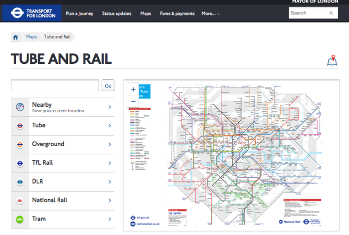
There are many different London Underground maps out there …. and I mean many.

TfL Tube and Rail Map – Image, Transport for London – https://tfl.gov.uk/maps
However, there’s map buried away… and you won’t use until its time. Or if you’re crossing your legs. Or holding your bladder.
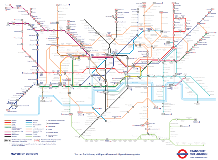
It’s an Underground Map… that shows where toilets are on the network.
An important thing to remember is not every underground station has toilets (in fact, the central area is pretty devoid of them except for a few areas)

TfL Underground Toilet Map – Map, Transport for London – http://content.tfl.gov.uk/toilets-map.pdf
The map has a useful guide page that charge a fee (varying before 10 pence and 50 pence), and who manages them (be it Transport for London or another company such as National Rail).
And no, they don’t accept contactless payments. It’s hard cold cash if you’d be so kind.
You can view the map at http://content.tfl.gov.uk/toilets-map.pdf
But if you’ve ever been caught short – this map is pretty essential. If you haven’t got it to hand – head to a National Rail Mainline station, Or find a fast food restaurant that won’t notice you ducking in.
However, if you’re on the move – this map is nothing short of useful.
I just wish there were a few more public conveniences out there…
Welcome to Economy Class and Beyond – Your no-nonsense guide to network news, honest reviews, with in-depth coverage, unique research as well as the humour and madness as I only know how to deliver.
Follow me on Twitter at @EconomyBeyond for the latest updates! You can also follow me on Instagram and Snapchat too
Also remember that as well as being part of BoardingArea, we’re also part of BoardingArea.eu, delivering frequent flyer news, miles and points to European readers