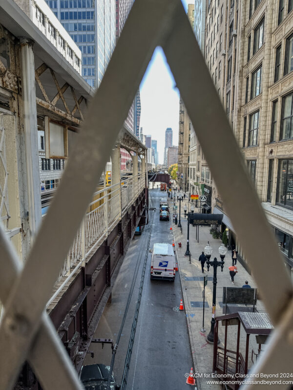
Touring the Loop from an Elevation with the Chicago L
There and Back Again
It’s time to look at life from an elevated view of the world, as I explore The Loop from the Chicago L, as well as offer a few travel tips for visitors.
In this adventure
- Let’s have a Melancholy Introduction
- To the 2:40 Coach and Heathrow Terminal 3
- Lounging in Terminal 3 with Cathay Pacific and American Airlines
- AA99 London Heathrow to Chicago O’Hare (Main Cabin)
- Into the USA and The Holiday Inn/Staybridge Suites, Rosemont
- Airplane Art Extra from the Holiday Inn/Staybridge Suites, Rosemont
- Hyatt Regency O’Hare
- Airplane Art Extra from the Hyatt Regency O’Hare
- An Unveiled Bean – Seeing Cloud Gate after works at the Plaza
- Did I mention I hate suitcases? The Hunt for a Replacement
- Exploring The Loop from Above with the Chicago L
- Random Food Adventures in Chicago
- Off to O’Hare Terminal 3. Wait. T3? With the American Airlines Flagship Lounge
- BA296 Chicago O’Hare to London Heathrow (World Traveller)
- Coffee and the Coach
- One step forward
One way to explore Chicago is through its subway system – the Chicago L. Where possible, I try to stick to using it when travelling, as it provides a low-cost way of getting around the city, without having to resort to Uber or Lyft.
If you’re coming from O’Hare Airport, you’ll get some views of a highway and local city scenes… but will lose sight of the city as the Blue Line drops into the Milwaukee–Dearborn subway. At that point, it is rather black or grey in the world.
If you’re coming in from Midway Airport, you can get a ride around the Loop as part of your journey. Or go to your hotels, drop off your luggage and then travel light first.
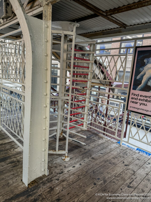
Travelling light on the CTA is not a bad idea – some of the older-style turnstile gates don’t work well with luggage.
There are three different “Loop” tour variants which you can self-do – as no train does a full loop around the loop – so you’ll need an exit point along the way. Here are three paths I recommend:
- Orange Line – you can jump off at Rooselvet station for a train on the other side (or if you feel fancy, head towards South Michagen Avenue for a bus/walk back to the Loop. This will take you South of the Loop, going in a clockwise direction. Note, that you won’t cross the Chicago River on this route.
- Brown Line – you can jump off at Merchandise Mart and experience the Mart. Or cross the bridge for a train back to the city. You’ll get a great view of the Chicago River on this route. If you want to go further, head to Chicago and Milwake to get the back view of North Michigan Avenue, then bus across to North Michigan Avenue. This will take you North of the Loop. It’s also one of the few lines that go anti-clockwise around the loop.
- Green & PinkLine – head to Clinton. This station has been heavily upgraded, which is nice to see. There’s bridge access and a lift too for those who need a lift to get them up. Again, this will cross the Chicago River and take you West of the Loop, going clockwise around The Loop.
As for cost, it will run you the cost of a CTA fare swipe – at the time of writing, that’s $2.50. This can be payable on a Ventura Card, or via Contactless payments. What I tend to do these days is top up the value of a Day Pass to my Ventura card via the app and load it via the phone app. Then tap in and out all day for $5 a day (which also includes all the buses).
Compared to some cities, it’s a bargain for a day of travel.
I’ve covered the Brown Line route in the past a fair bit, so I’m going to try both the Pink Line and Orange Line method.
Well, I tell a white lie. I took the Green Line, as I was starting from Morgan (after rooting around in a Goodwill) and heading to Roosevelt Station first (there’s a good Trader Joe’s near there). It does the job for this discussion.
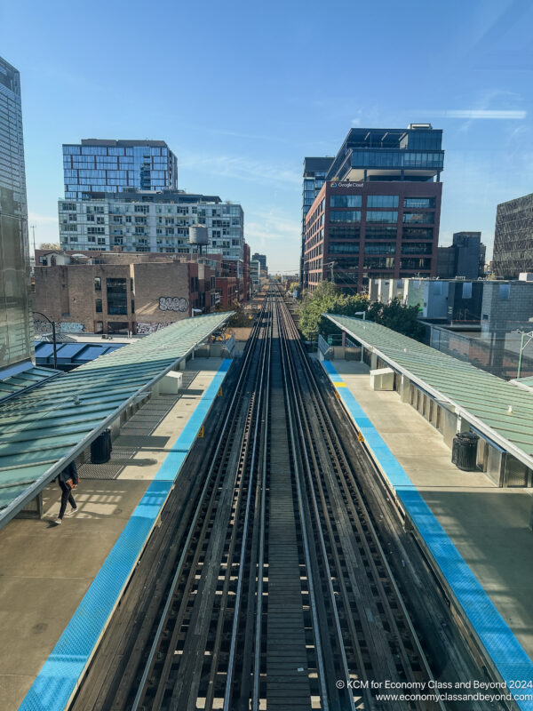
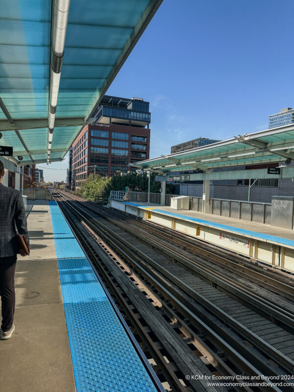
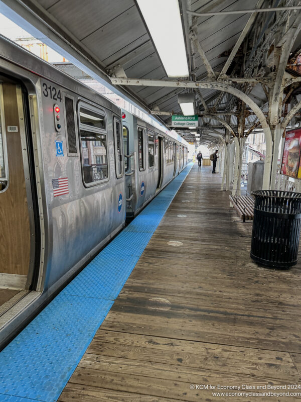
Morgan – like a few of the Green Line stations that serve West Chicago has had a bit of a glow-up the past few years – making it very accessible. It’s good if your knee disagrees with the concept of climbing stairs.
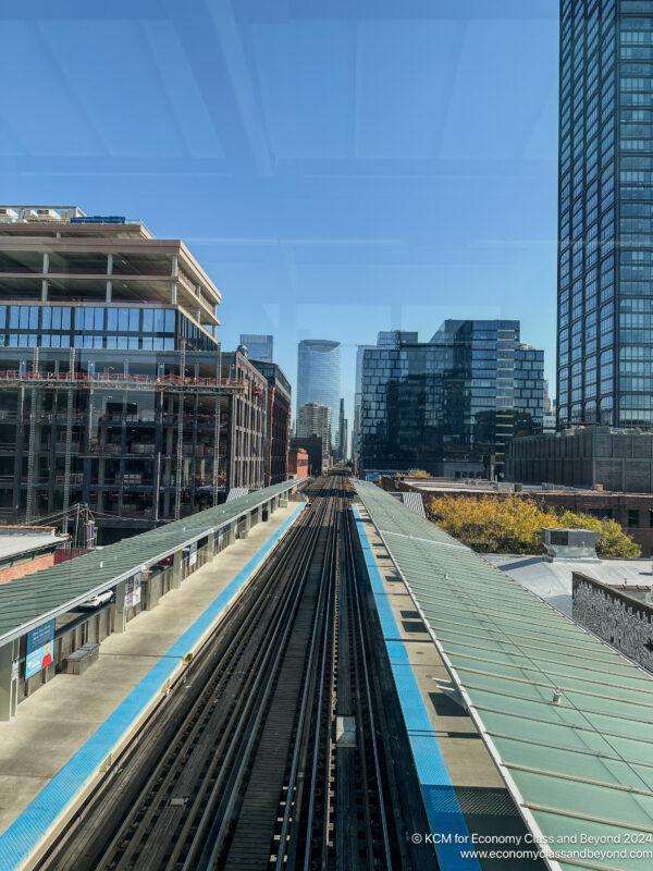
It does provide a view down the tracks, as well as to the city.
From here, it’s a matter of getting on the train, finding a window seat that you like the look of, and travelling.
You might want to switch sides of the train, depending on the view you want. For the Green Line ride, I rode on the left-hand side, which gave views of The Chicago River, and Merchandise Mart, one of the curves that make up the loop, before heading down Wasbash and Millenium Park and out toward South Chicago.
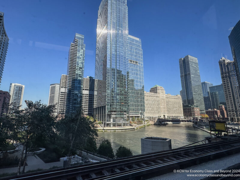
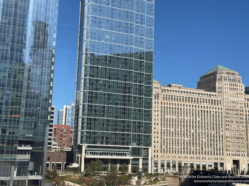
Merchandise Mart in the background, Wolf Point in the foreground, and of course, The Chicago River
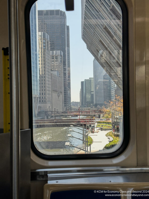
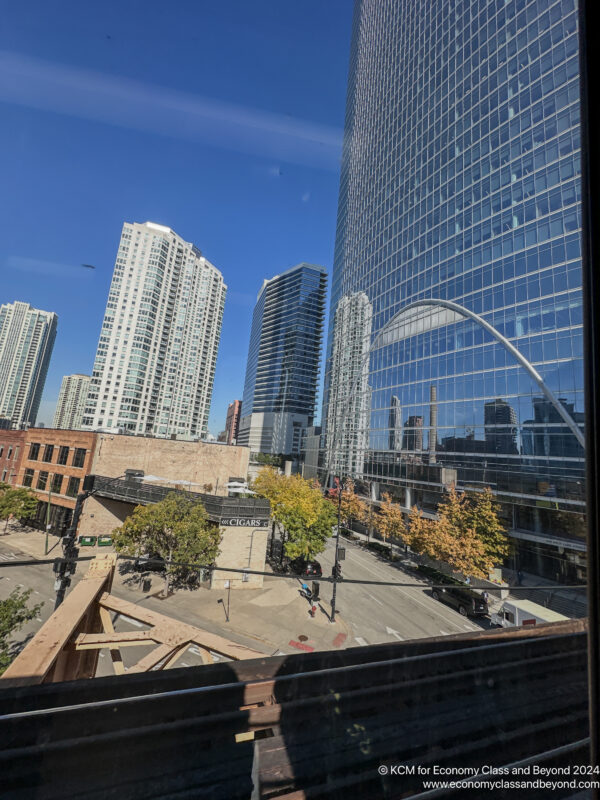
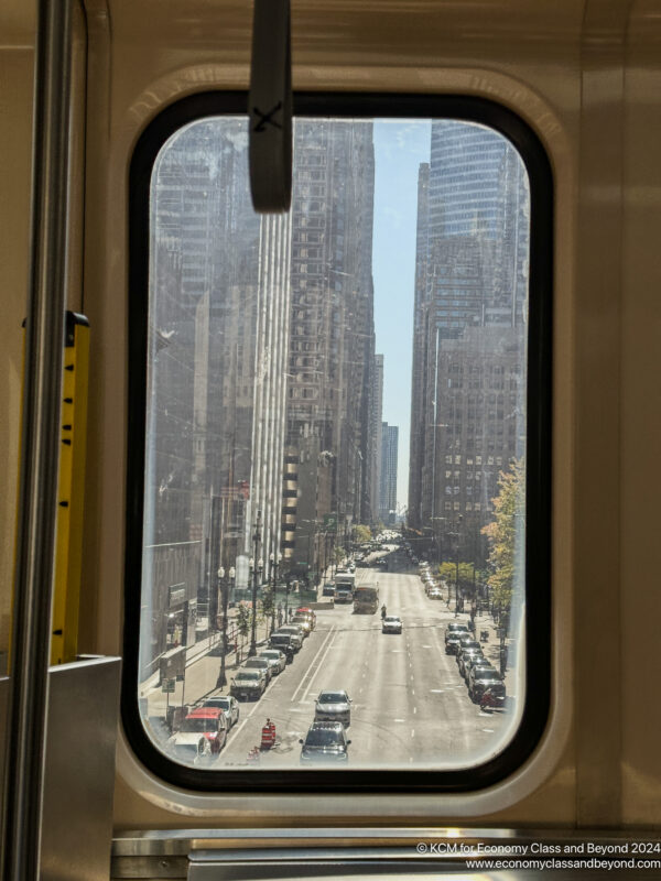
Crossing the Chicago River. Windows in this case are a good framing device.
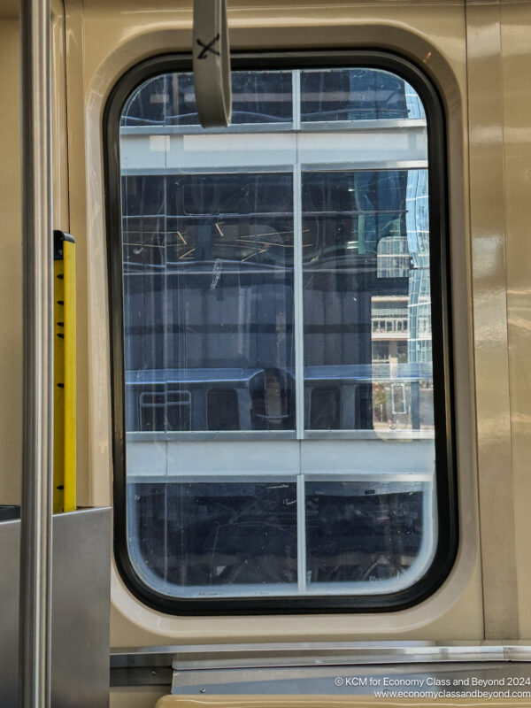
You’ll get this view if you’re seated. Be prepared to move around. Just don’t annoy any locals on the way.
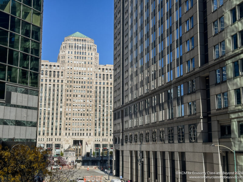
If you haven’t done an Architecture Boat Tour, I’d strongly recommend this as a first stop – you’ll learn a lot more about some of the building design.
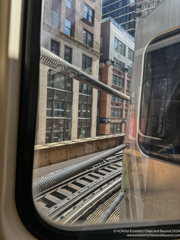
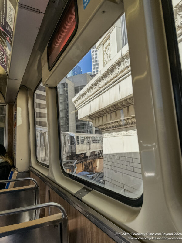
Taking a curve on The Loop. The Springs? They’re there so you don’t fall between train cars.
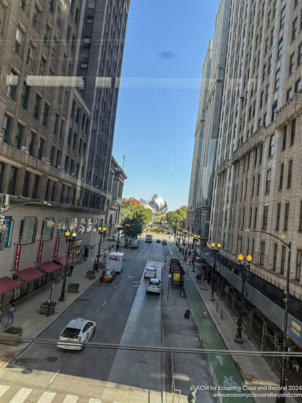
Millenium Park and the Harris Theatre
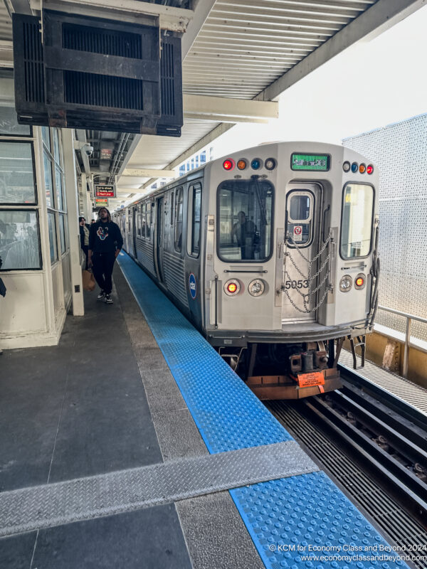
My exit point at Roosevelt Station.
Heading back to The Loop (after I had emptied Trader Joe’s of “Everything but the Bagel” mix). I hopped back into Rosevelt Station, and upwards to the platform level.
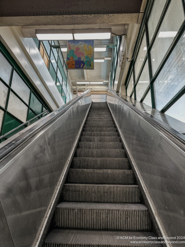
There’s something about escalators.
This time I would take an Orange Line service, which heads in the loop, then proceeds clockwise around the Loop, calling at Van Buren Street, Wells Street, Lake Street and Wabash Avenue, before heading back to Midway Airport.
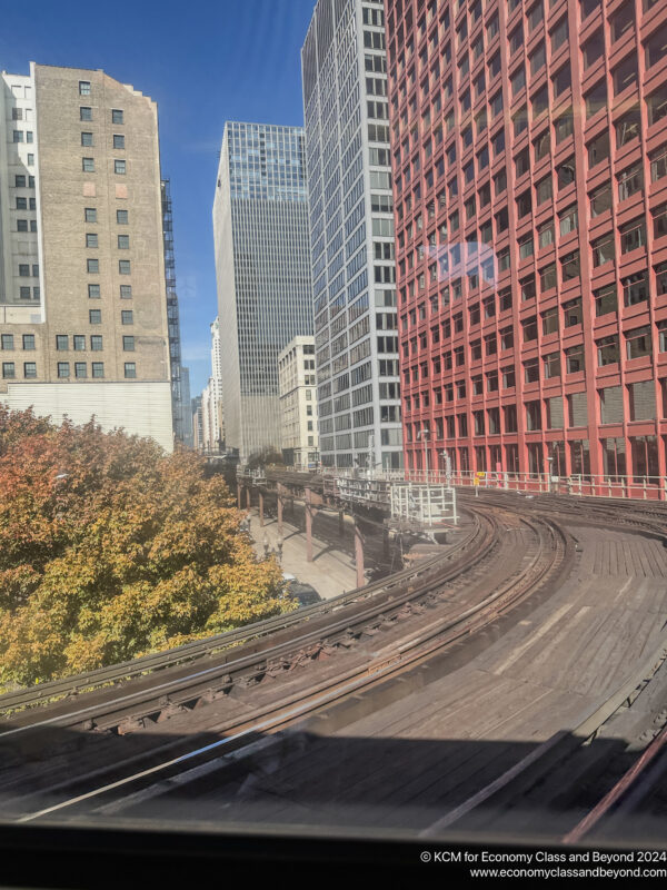
Approaching the Loop from the South Eastern Corner. The train has been signalled to the right, with the 333 South Wabash (ex-CNA Center) being “different” from the rest of its grey concrete and glass buildings.
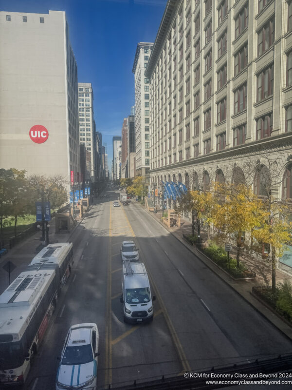
State Street – the further south you go along it, the further it looks like a shadow of its past.
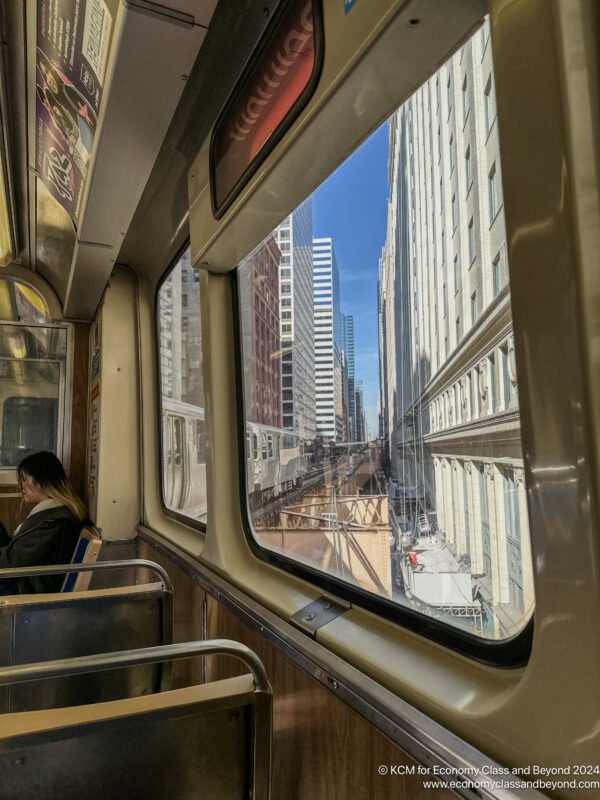
Another corner of The Loop as the train makes its clockwise journey
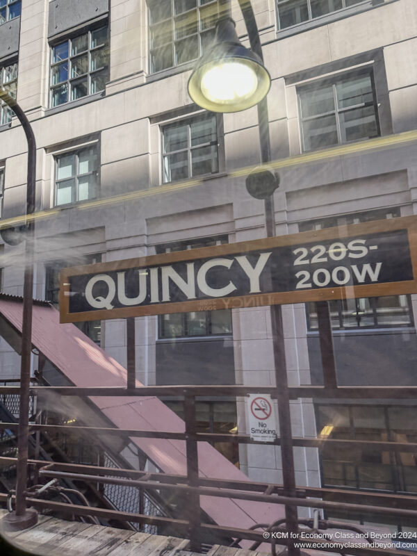
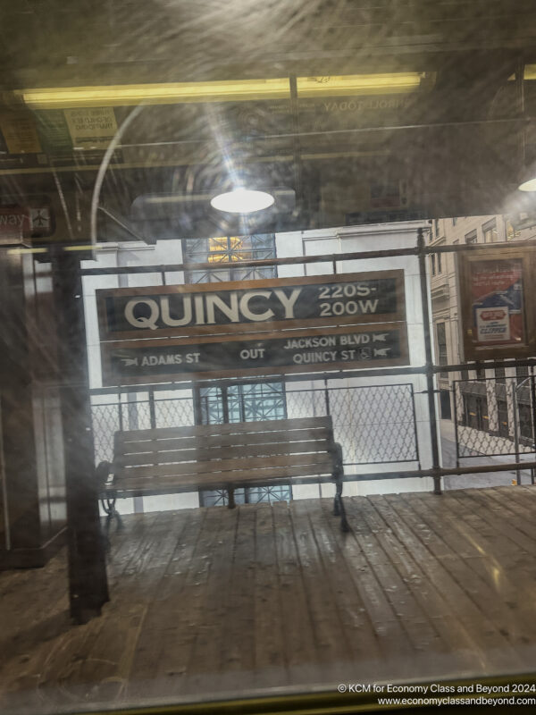
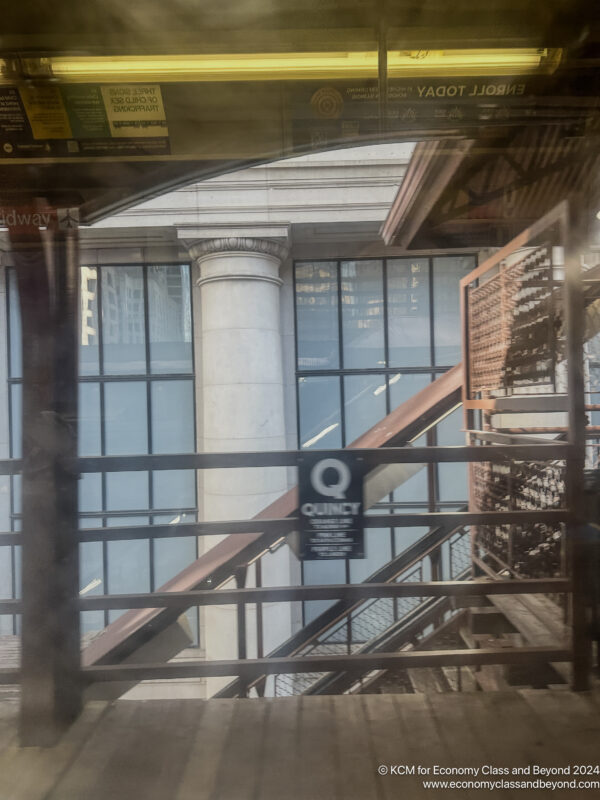
Qunicy Station – one of the older stations on the Chicago L. It was renovated in the 1980s to its current look (giving an insight into what it looked like when it opened), with further renovation in the 2010s to allow better accessibility (including elevators and lighting).
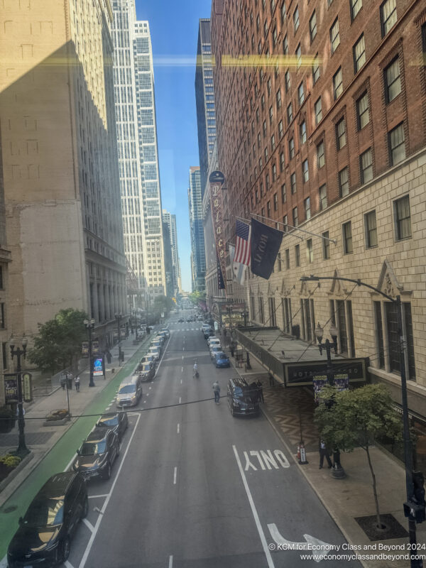
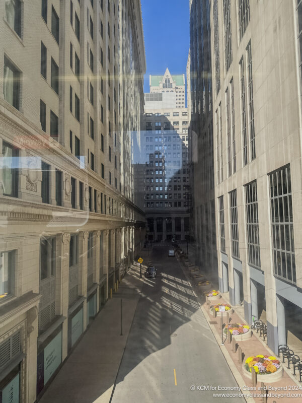
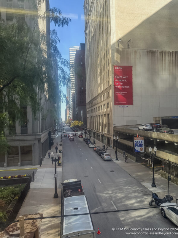
More unending streets, this time looking towards the coast.
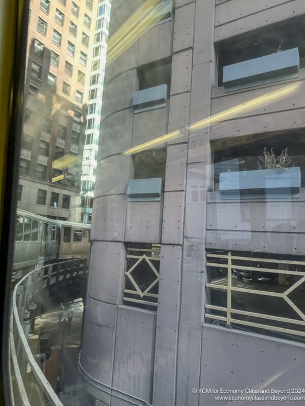
Through the 3/4 Diamond on the North West of the Loop.
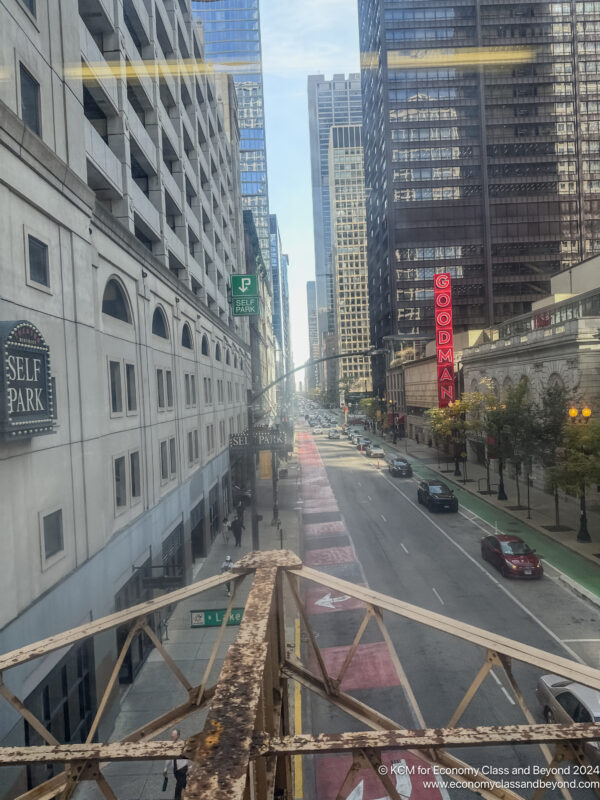
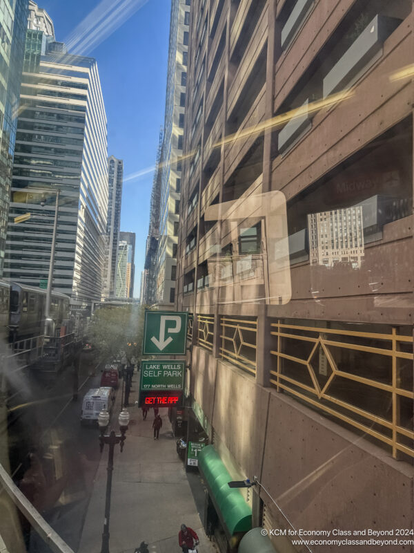
Familiar sighs for me – normally, I’m at street level taking photos.
A pro tip – if you want a unique view of the Chicago Theatre sigh, get off at State and Lake and look beyond the battle-weary screens. You might find something very interesting.
This I was on the “inside” of the loop, giving some good city views along the way, as well as observing how tight some of those curves are as the train goes around the Elevate Loop.
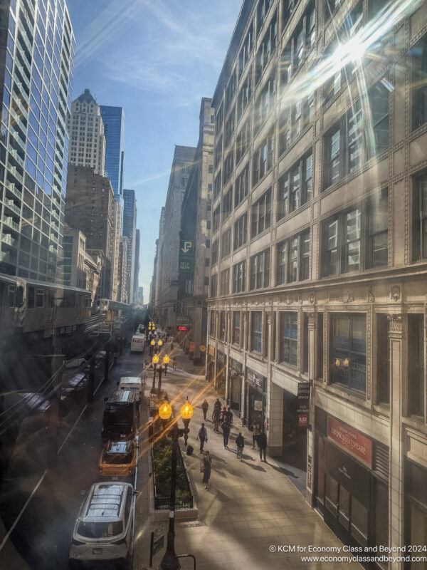
Turning onto Wabash Street – if you want gritty urban photos, head here in the evening.
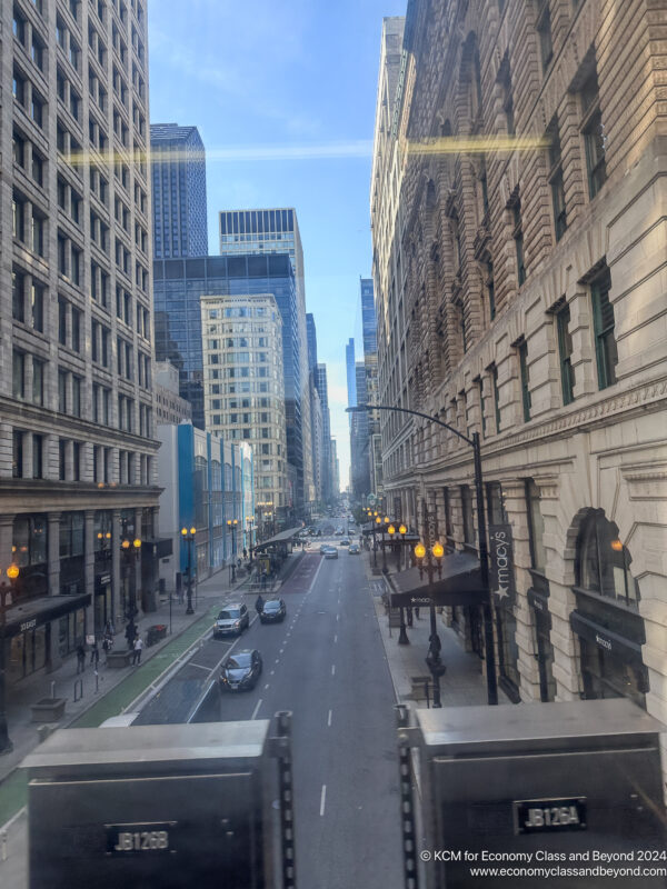
Primani on the Left, The Marshall Field and Company on the Right (no, I refuse to call it Macy’s).
For me, I needed to head to Central Camera on Wabash, so I left at Adams and Wabash to see how much my pockets would be emptied.
Overall
I find being above a city sometimes is a great way to get perspective of a place, or to understand it a little more. Plus if priced right, it can be one of the cheapest ways to learn about a city.
If you want to go deeper, you might want to time your trip with one of the events the Chicago Architecture Centre operates – called “Elevated Architecture: Downtown ‘L’ Train“.
It would be an interesting way to learn about a city and how transit shaped Chicago.
Next
Welcome to Economy Class and Beyond. Your no-nonsense guide to network news, honest reviews, in-depth coverage, unique research, as well as the humour and madness I only know how to deliver.
Our Social Media pool has expanded. You can find us across most networks as @economybeyond on BlueSky, Threads Mastodon and Instagram!
Also, remember that we are part of the BoardingArea community, bringing you the latest frequent flyer news from around the world.

